Aerial data analyzed by a civil engineer. Not captured by a drone operator.
Luis Felipe Hidalgo
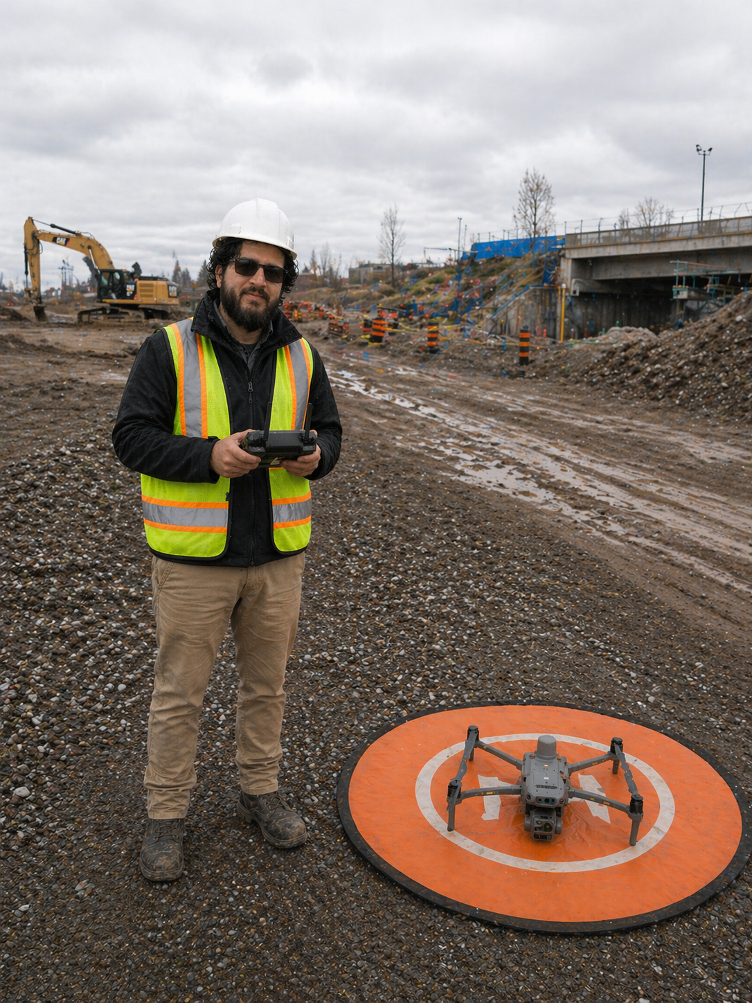
Site Intel Group is an Ottawa–Gatineau documentation firm founded by a civil engineer with five years of contract administration in Colombia, three years of facade inspections in regulated New York City airspace, and more than three years of infrastructure engineering in Ottawa. The business exists for a specific reason: most aerial operators in the region cannot produce a document an engineer of record will sign off. We can.
The aerial capture is the easy part. What matters is the 6-section engineering report at the end. Structured, defensible, and understood by the consultant, the contractor, the lender, or the insurer who reads it. Every deliverable goes through engineer-level review before it lands in your folder.
We do not sell "drone services." We sell construction documentation and verification. A document system with a stated scope, a stated accuracy, and a stated liability position. The instrument is a drone. The product is a record.
What we produce, and what we don't.
A short position on what we produce and what we don't. This tells an engineering firm exactly where we fit into your workflow, and where we don't.
- Aerial imagery, orthomosaics, and classified point clouds
- Construction progress documentation and comparison reports
- Volume measurements with stated ± tolerances
- Visual inspection imagery and annotated defect logs
- Engineering-structured reports for payment certification and dispute records
- Structural engineering assessments or PE-stamped opinions
- Certified inspections requiring an engineer of record
- Legal boundary surveys or cadastral maps
- Design recommendations or engineering judgments
- Raw photo drops without engineering review or structure
The technical foundation behind every report.
Every deliverable references a named capture instrument, a named correction source, and a named accuracy. No ambiguity on how the data was produced.